09 May Cobre and Sandfire kick off joint airborne surveys over Kalahari copper belt projects
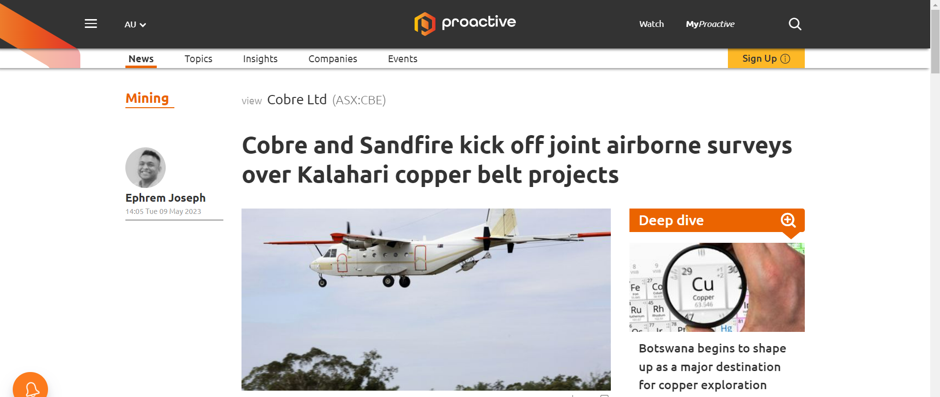
Cobre Ltd (ASX:CBE) has kicked off a collaborative airborne gravity gradient (AGG) survey with neighbour Sandfire Resources, covering a large portion of the Kalahari Copper Belt (KCB), including Cobre’s Ngami Copper Project, Kitlanya West and Kitlanya East (KITE) Projects.
Notably, the results are expected to provide valuable information on KCB basin architecture and the location of sub-basins, margins and controlling structures where copper-silver mineralisation may be targeted.
The survey will complement results from the recently completed 5,000-metre diamond drilling, ongoing soil sampling, and aircore and reverse circulation drill programs, providing valuable additional data for area and target prioritisation at Kitlanya West and Ngami Projects.
Furthermore, AGG results may also help in the detection of copper-silver bearing trap sites analogous to Sandfire’s neighbouring T3 and A4 deposits at KITE, providing new targets for drill testing.
Significant insights
Cobre CEO Adam Wooldridge said: “We are pleased to announce that the AGG survey, in collaboration with Sandfire, is finally underway. These results are expected to provide significant insights into our understanding of the regional controls for copper distribution in the KCB.
“They will also provide a new targeting tool to complement our other datasets. The deliverables from this survey are expected to be highly complementary to the results from our ongoing aircore, reverse circulation drilling and soil sampling programs at KITW as well as providing further context for the distribution of copper-silver grades at NCP.
“Additionally, the results over the KITE project will be particularly interesting given its proximity to the T3 deposit and potential for hosting similar styles of deposit.”
Survey background
Gravity data is routinely used for mapping sedimentary basins where it provides a cost-effective method for modelling the basin architecture, often key to understanding the distribution of sedimentary copper deposits.
This is demonstrated in the historical regional ground gravity data over the north-eastern portion of the KCB where correlations are evident between the margins of gravity lows and known copper-silver deposits.
The higher resolution AGG is expected to build on these correlations, identifying further priority sites for copper-silver deposits as well as providing important structural information and potentially identifying trap-site targets where mineralisation may be economically upgraded.